
Sthapati Associates Ltd. completed a Ground Penetrating Radar (GPR) survey at Nandipara for the WASA 3.2 Project to identify underground utilities, buried pipes, cables, and subsurface conditions before construction work. The survey supported safer excavation planning, reduced utility damage risk, and provided engineering data for project decision-making.
Sthapati Associates Ltd. provides GPR survey, utility mapping, land survey, soil investigation, and engineering consultancy services for infrastructure, road, drainage, utility, commercial, and industrial projects in Bangladesh.
Project Information
| Item | Details |
|---|---|
| Client | WASA |
| Project | WASA 3.2 Project |
| Location | Nandipara, Dhaka, Bangladesh |
| Service | Ground Penetrating Radar (GPR) Survey |
| Technology | Non-destructive subsurface investigation |
| Status | Successfully completed |
Scope of Work
- Underground utility detection
- Buried pipe and cable identification
- Subsurface feature investigation
- Engineering data collection for construction planning
- Survey observation and reporting support
- Risk reduction before excavation or construction activity
Why GPR Was Needed
GPR survey is useful before construction because many urban sites contain hidden utilities, drainage lines, water lines, cables, voids, and unknown subsurface features. A non-destructive GPR investigation helps project teams understand underground conditions without opening the ground unnecessarily.
For the WASA 3.2 Project at Nandipara, the GPR survey helped reduce the chance of utility damage, excavation delay, redesign, and safety risk. This type of survey is especially important for road corridors, utility corridors, drainage works, pipeline works, and infrastructure development projects in Dhaka.
What the Client Receives
- Field survey observations from the GPR investigation
- Detected underground utility or subsurface feature information
- Engineering notes to support safer planning
- Survey documentation for project coordination
- Recommendations for further checking where needed
Documents and Site Data Usually Required
- Project location and survey boundary
- Existing utility drawings, if available
- Site access information
- Known pipeline, drainage, cable, or structure information
- Required survey depth or investigation objective
- Construction or excavation plan, where applicable
Related Survey and Engineering Capabilities
Sthapati Associates Ltd. supports infrastructure and construction projects through connected professional services including digital land survey in Bangladesh, soil investigation in Bangladesh, drone survey in Bangladesh, topographic survey, DGPS survey, and structural engineering services.
GPR Survey Use in Construction Planning
Ground penetrating radar is used as a non-destructive investigation method to identify possible underground utilities and subsurface features before excavation or construction work. For urban infrastructure projects, this helps project teams reduce unexpected utility strikes, avoid unnecessary trial pits, and plan construction activities with better field information.
For general technical background, see this overview of ground-penetrating radar. On project sites, the final survey method and interpretation depend on site condition, surface access, expected utility type, and the required investigation depth.
Project Photos
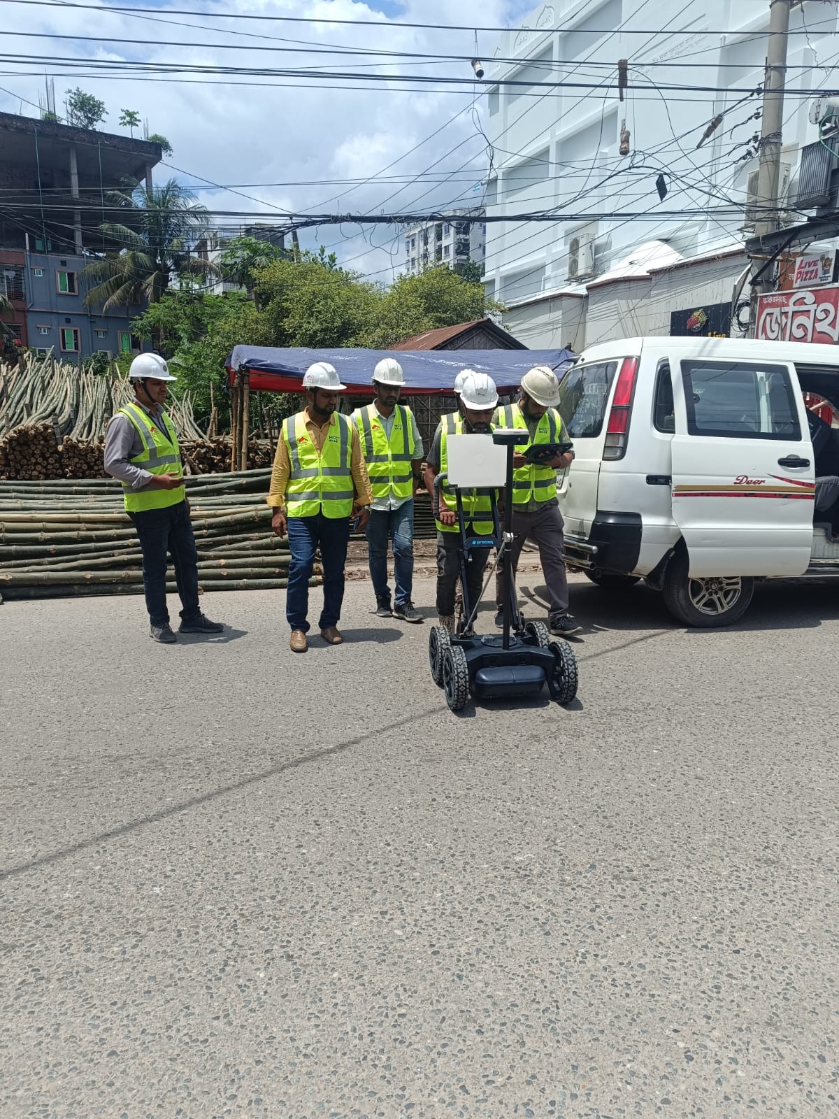
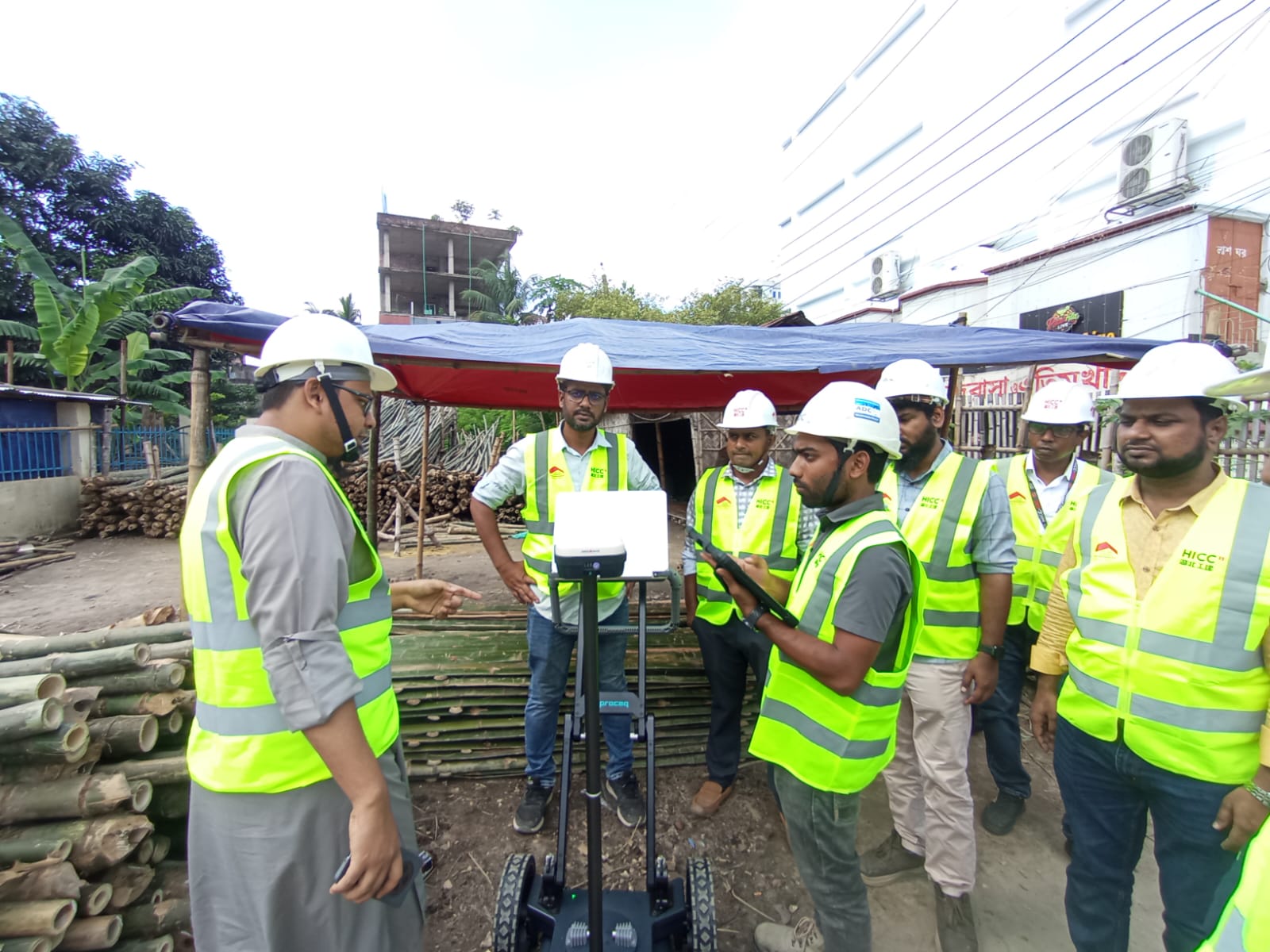
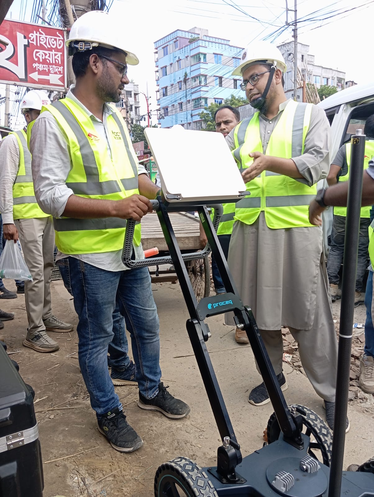
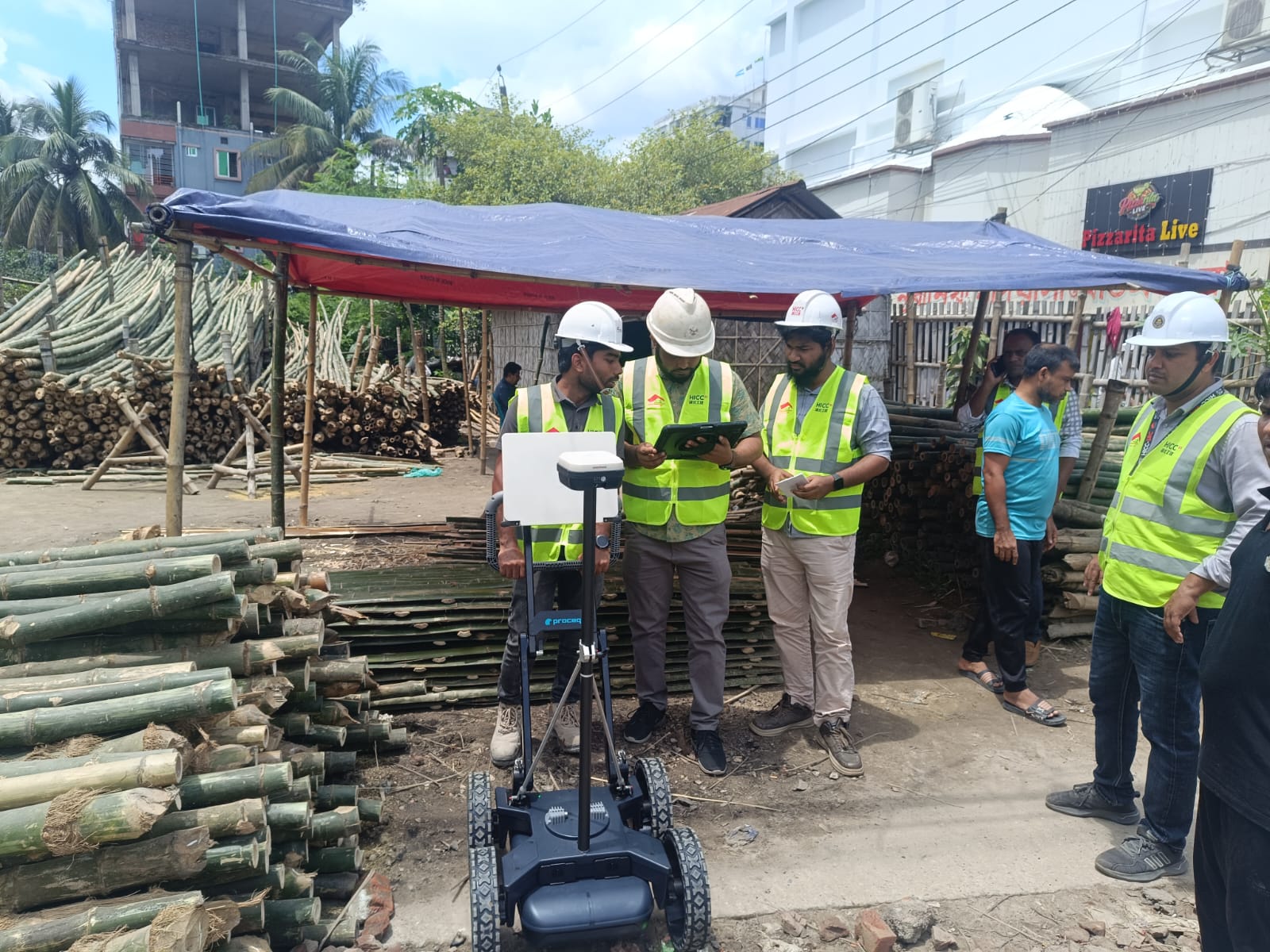
FAQs About Subsurface Survey
What is GPR survey used for?
GPR survey is used to detect underground utilities, buried pipes, cables, voids, subsurface features, and construction risks without destructive excavation.
Why is GPR survey useful before excavation?
GPR survey helps reduce the risk of damaging hidden utilities and supports safer planning before excavation, road cutting, pipeline work, drainage work, or construction activity.
Can this survey be used for infrastructure projects in Dhaka?
Yes. GPR survey is useful for infrastructure projects in Dhaka where underground utilities, drainage lines, water lines, and cables may affect construction planning.
What information is needed before a GPR survey?
Useful information includes site location, survey area, known utility drawings, project objective, required depth, and access details for the survey team.
The survey was useful for identifying possible underground utility routes before field work and for helping the project team coordinate excavation decisions with lower risk. This kind of GPR Survey is commonly used before road works, drainage works, pipeline corridors, utility crossing checks, and infrastructure construction in dense urban areas.
Need a GPR Survey?
For GPR survey, utility mapping, subsurface investigation, land survey, or engineering consultancy in Bangladesh, contact Sthapati Associates Ltd.
Phone: +88 01774-955599
Email: [email protected]
Website: www.bdsthapati.com
