
Supporting Climate-Resilient Infrastructure with Accurate Survey Services
Sthapati Associates Limited is pleased to announce the successful completion of a professional Engineering Survey under the Climate & Disaster Resilient Small-Scale Water Resources Management Project (CDRSSWRMP) in Chapai Nawabganj.
Quick answer: This field survey supported the Nayagola-Mohananda SP (ID-22023) assignment with field reconnaissance, control point verification, topographic data collection, elevation measurement, engineering mapping, and technical reporting. The survey data helps planning and design teams make better decisions for climate-resilient water resources infrastructure.
As part of this assignment, our engineering team conducted the survey at Sadar Upazila, Chapai Nawabganj. The work reflects our ongoing commitment to sustainable infrastructure development through precise engineering data and professional survey services in Bangladesh.
Project Overview
| Project | Details |
|---|---|
| Project Name | Climate & Disaster Resilient Small-Scale Water Resources Management Project (CDRSSWRMP) |
| Client | Local Government Engineering Department (LGED) |
| Location | Chapai Nawabganj, Bangladesh |
| Assignment | Engineering Survey of Nayagola-Mohananda SP (ID-22023) |
| Service | Engineering Survey |
| Status | Successfully Completed |
About the Project
Climate change has increased the importance of resilient water resource infrastructure across Bangladesh. Accurate engineering surveys play a critical role in planning, designing, and implementing projects that can withstand environmental challenges.
For this assignment, Sthapati Associates Limited provided professional survey services to support the project’s planning and implementation by delivering reliable field data for design coordination, project review, and decision-making.
Scope of Survey Services
Our team carried out engineering survey activities to support project development, including:
- Field reconnaissance and site condition review
- Topographic data collection and survey measurement
- Control point verification
- Existing feature survey
- Elevation measurement and level data collection
- Survey data processing and engineering mapping
- Quality verification of field information
- Technical reporting for project coordination
Why Accurate Field Data Matters
Every successful infrastructure project starts with reliable engineering data. Professional survey services help improve engineering accuracy, support informed planning and design, reduce construction risks, minimize costly errors, and deliver dependable field information for project teams.
For water resources and climate-resilient infrastructure projects, survey accuracy is especially important because land levels, drainage context, alignments, existing structures, and nearby features can directly affect project performance and long-term sustainability.
What the Client Receives
- Field survey observations and measured data
- Topographic and existing feature information
- Control point and elevation data support
- Engineering mapping support for planning teams
- Technical reporting and coordination notes
- Reliable survey inputs for design and implementation
Documents and Site Data Usually Required
- Project location and survey boundary
- Assignment scope or project ID
- Existing drawings, maps, or previous survey information where available
- Known structures, roads, canals, utilities, or waterbody information
- Required survey deliverables and coordinate reference information
- Site access and local coordination details
Engineering Services
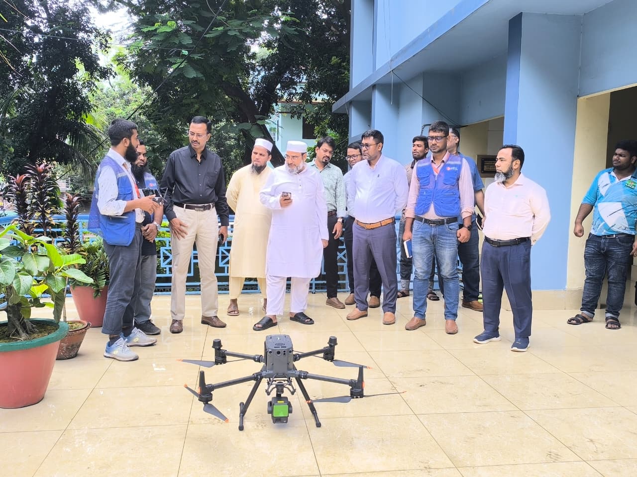
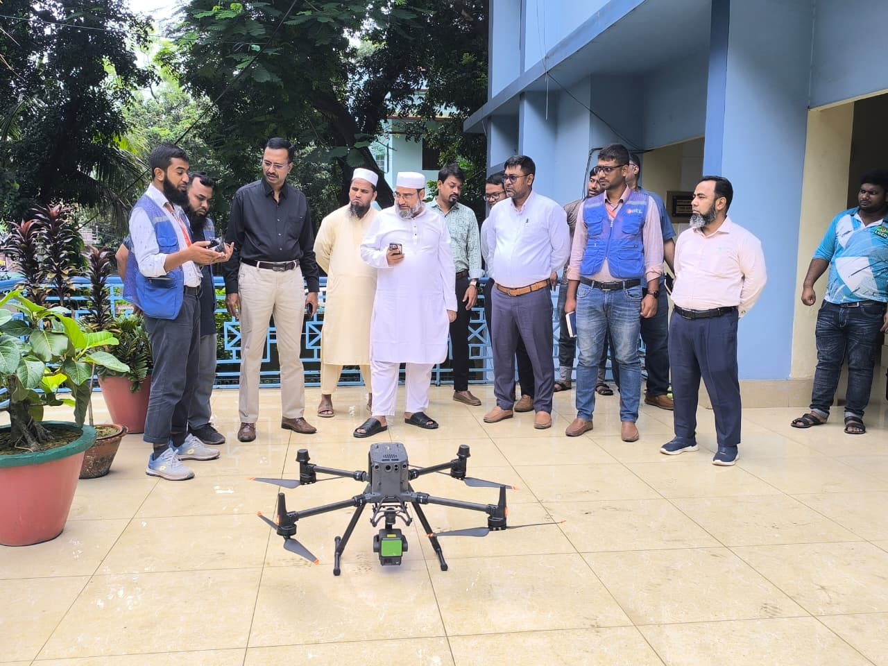
Sthapati Associates Limited supports infrastructure, water resources, urban development, and industrial projects through digital land survey in Bangladesh, drone survey services, DGPS survey, topographic survey, GPR survey project experience, soil investigation in Bangladesh, material testing, and structural engineering services.
Project Photos
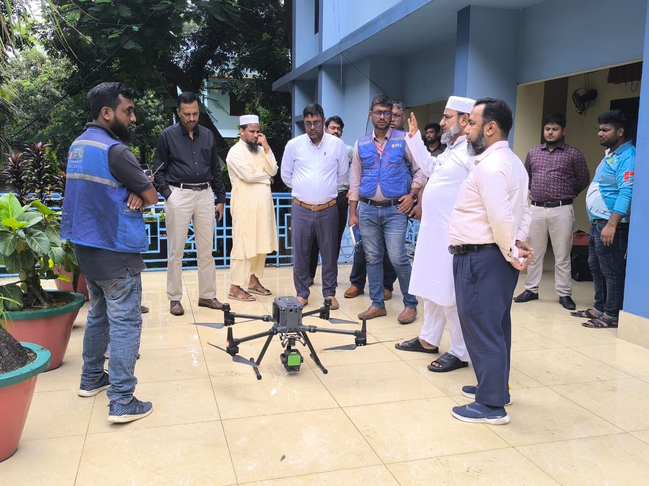
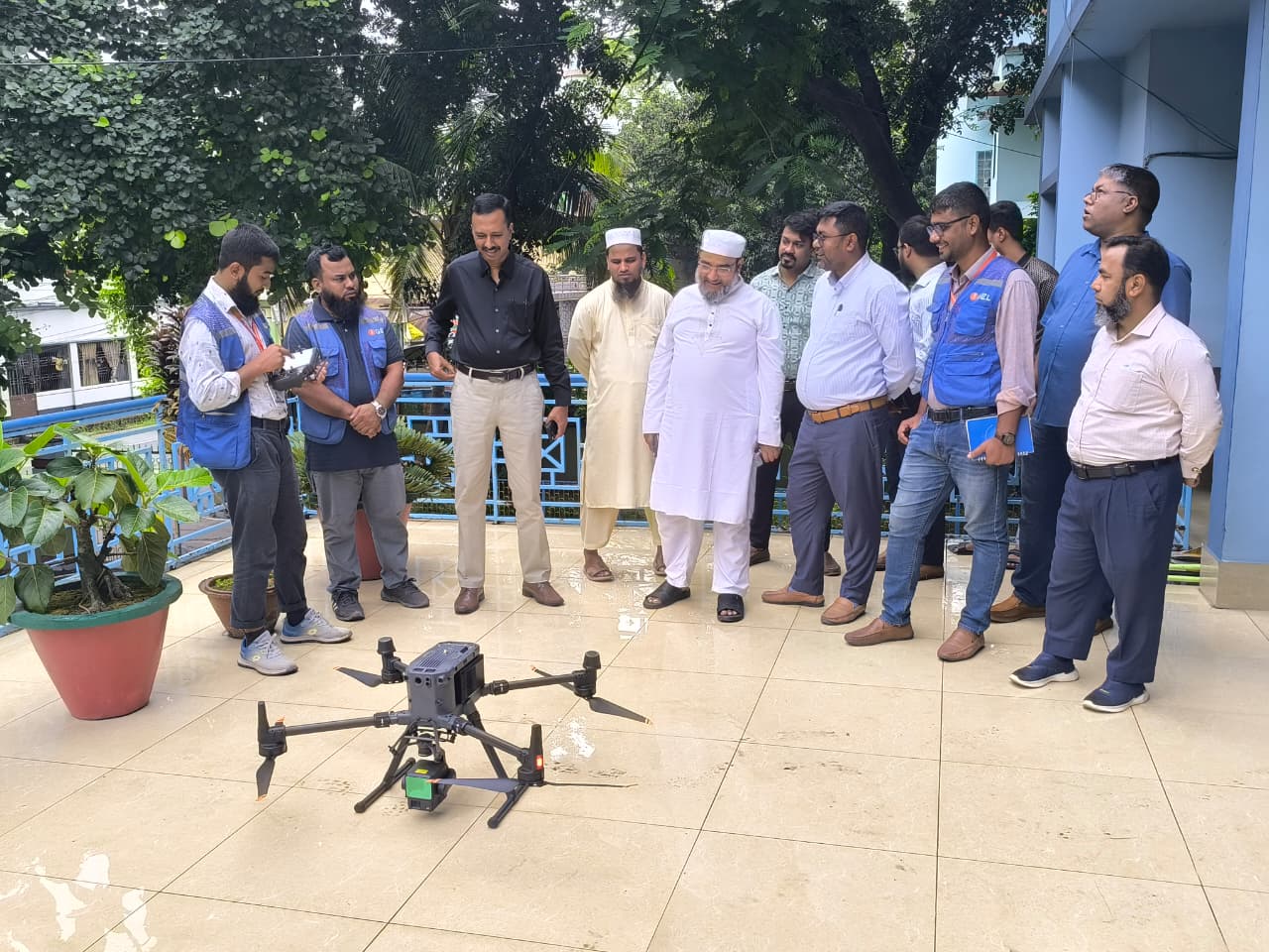
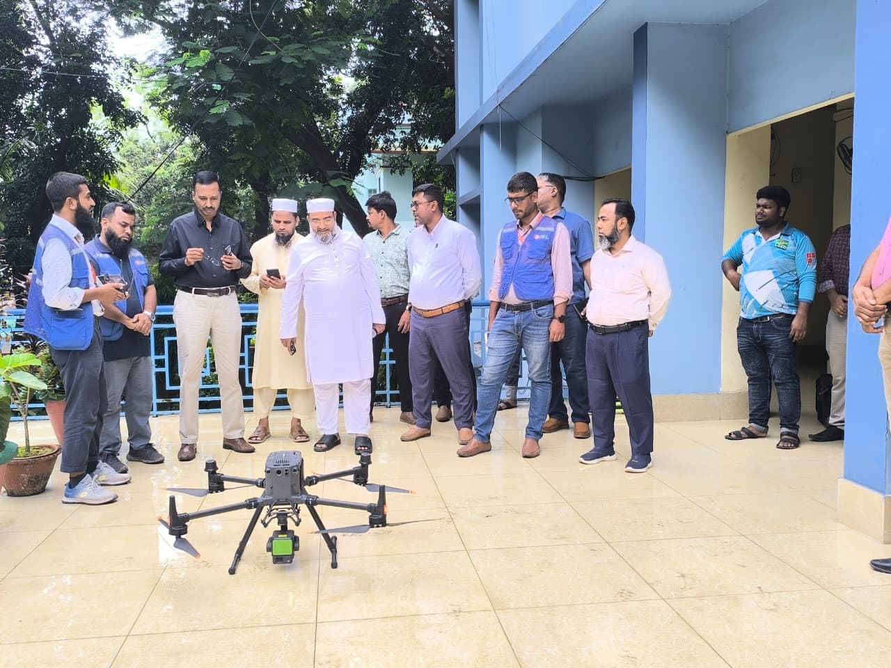
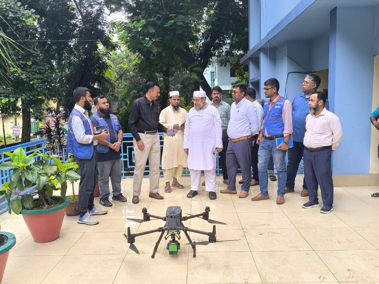
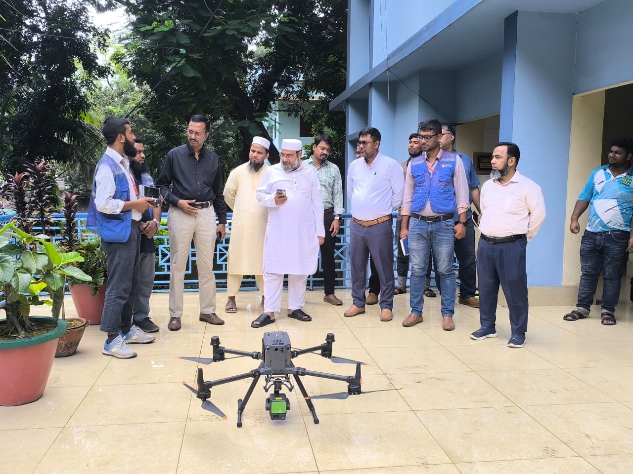
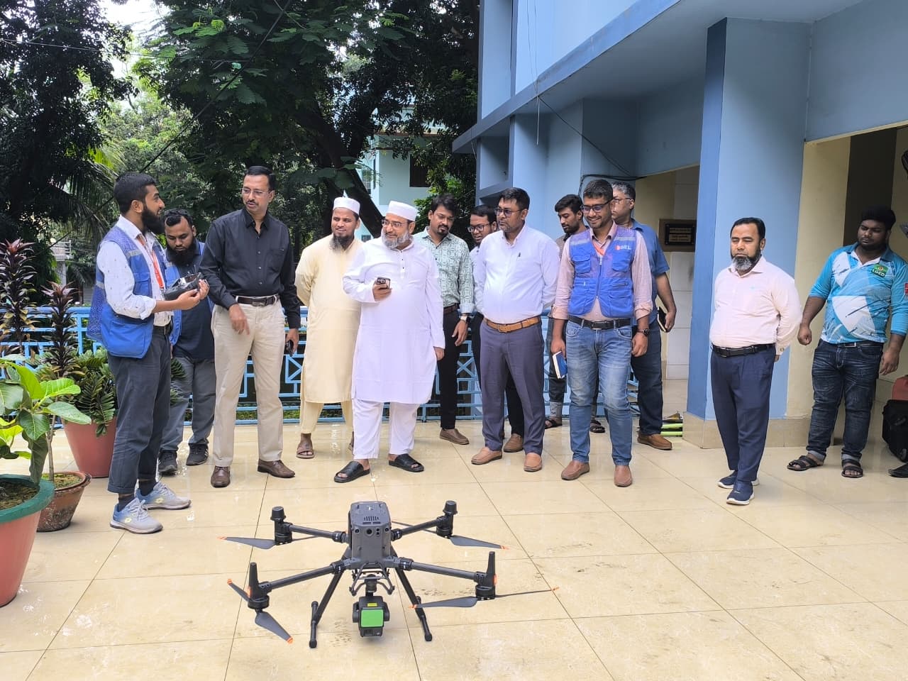
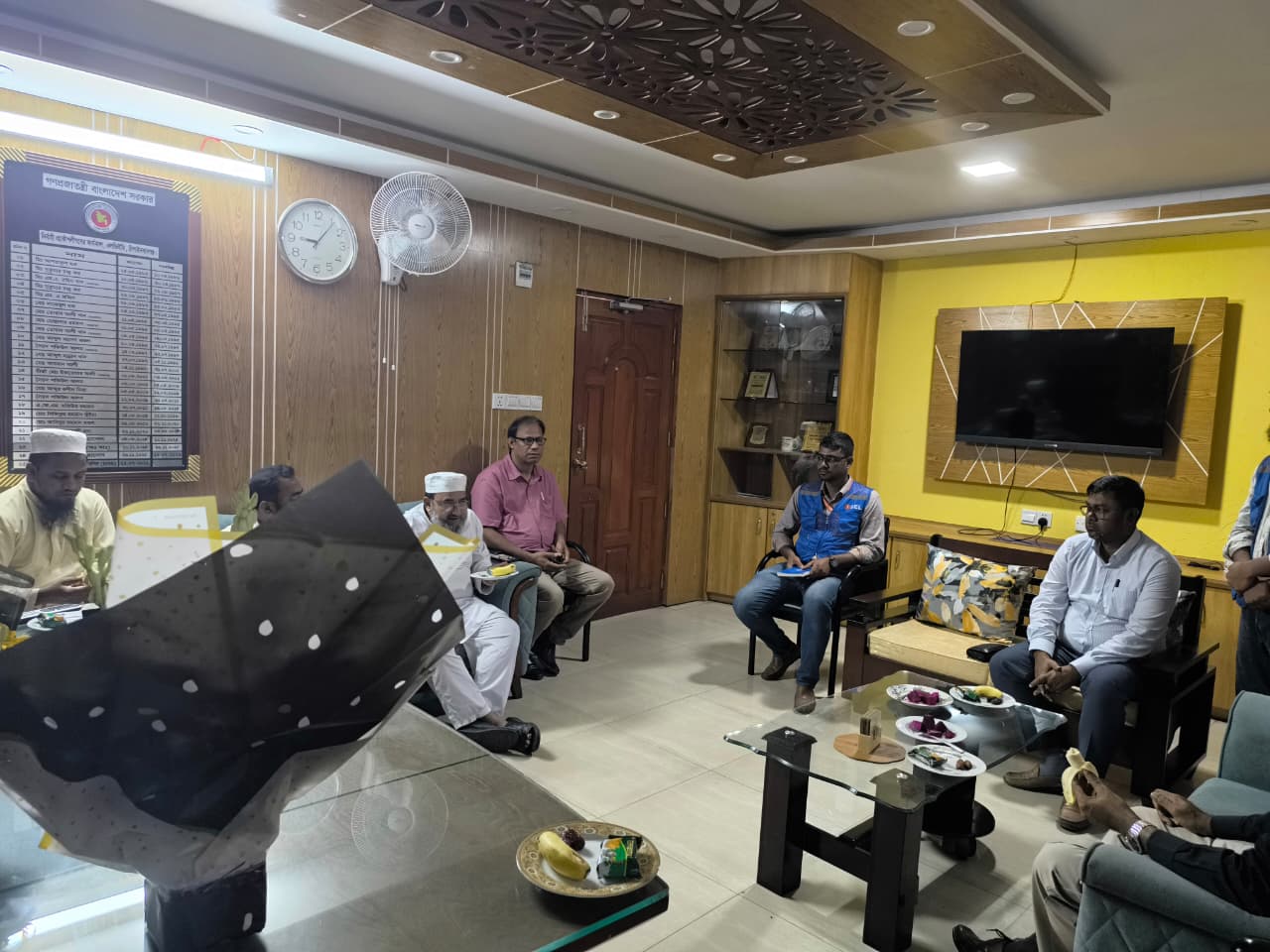
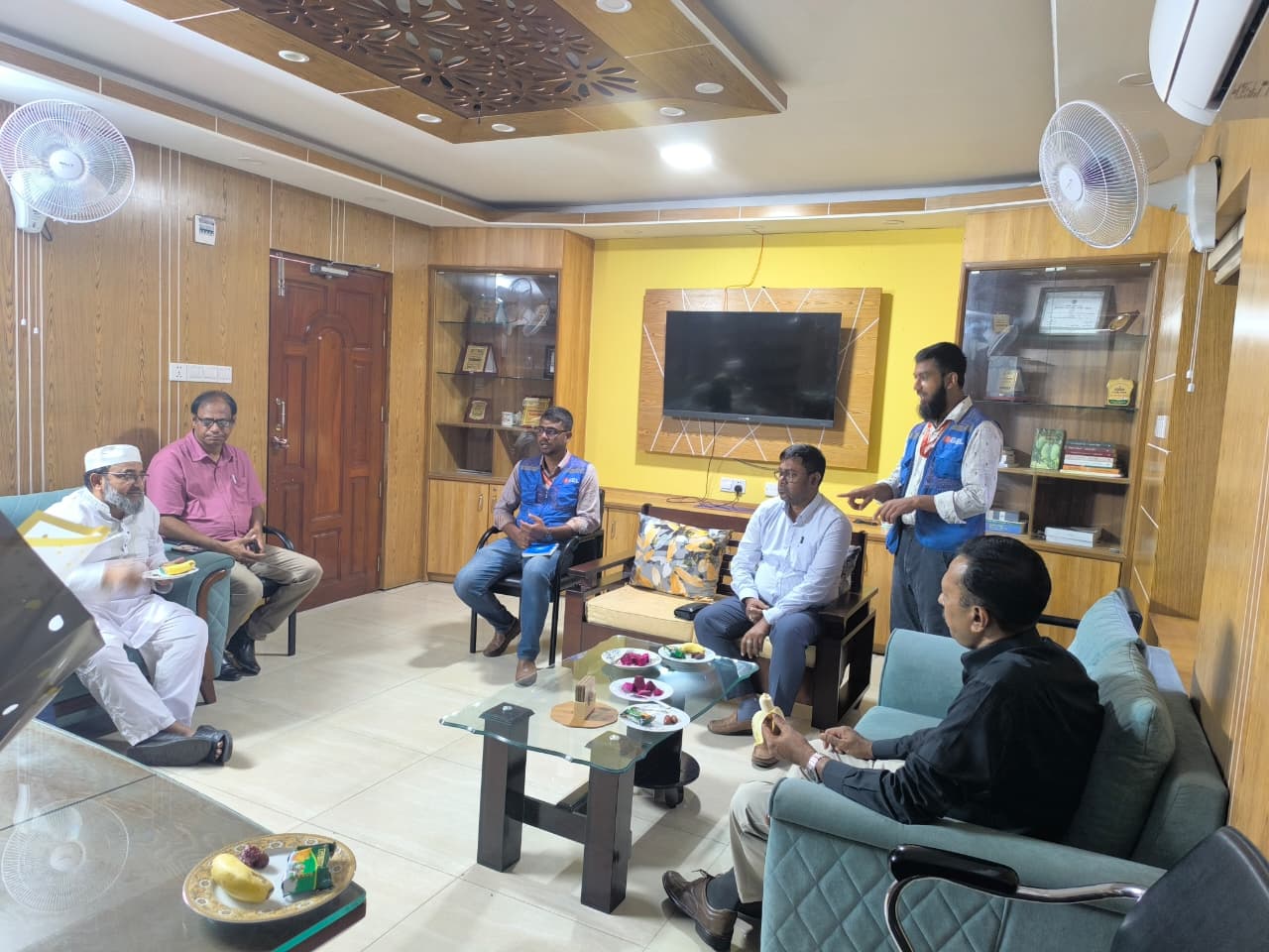
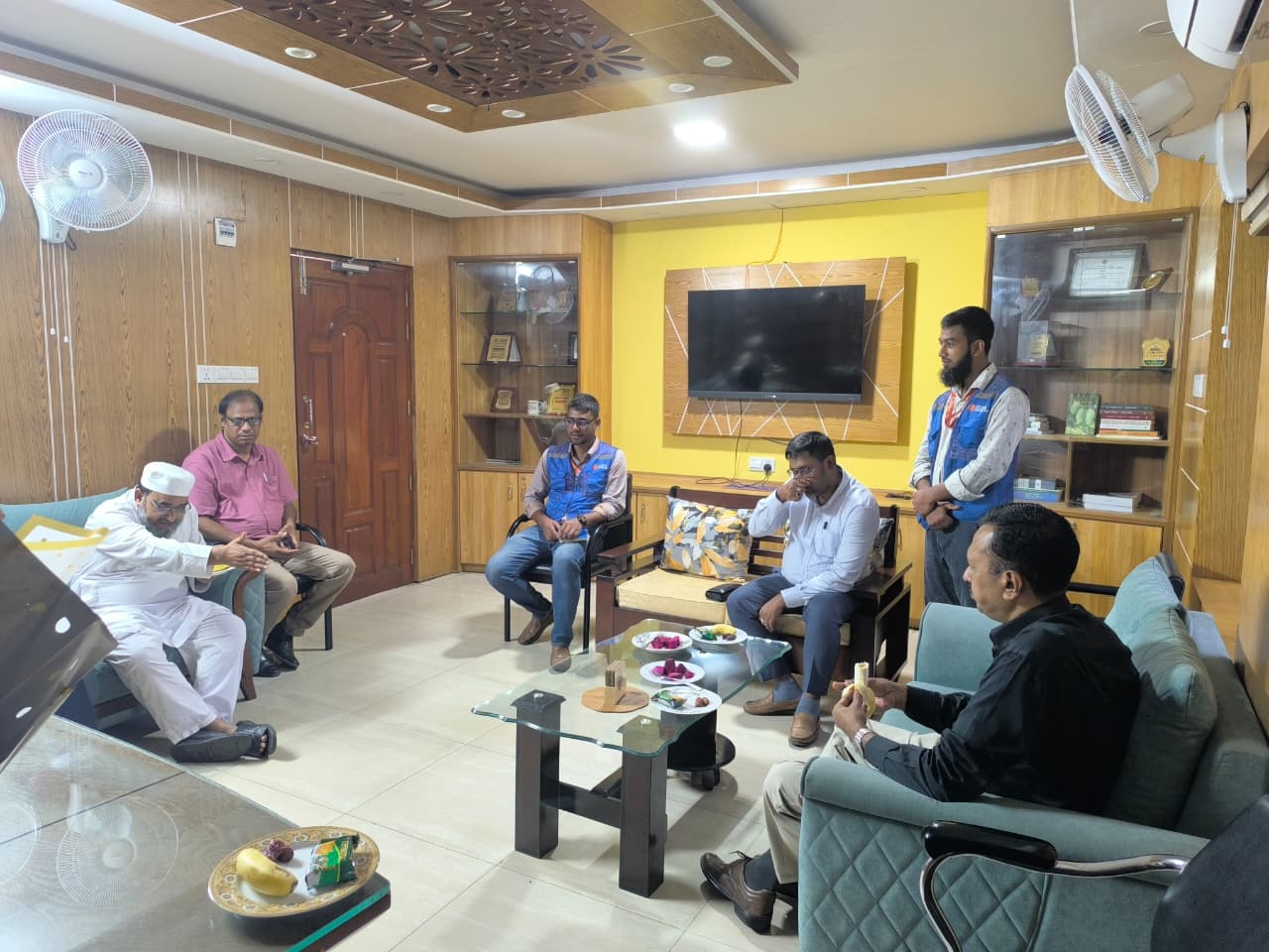
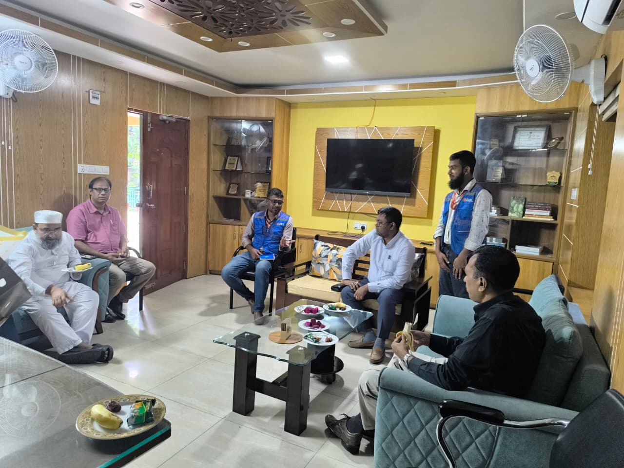
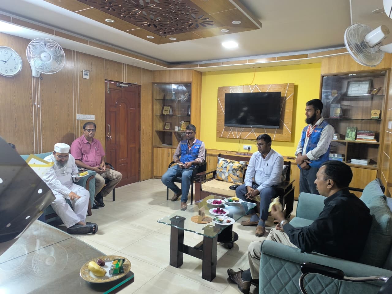
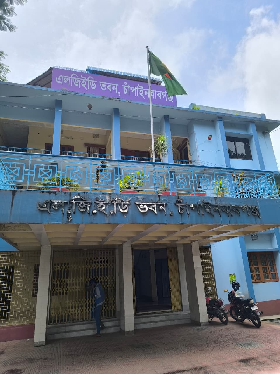
FAQs About Survey Services
What is an engineering survey used for?
A professional survey is used to collect accurate field data, levels, features, alignments, and site information needed for planning, design, construction, and project coordination.
Why is survey work important for water resources projects?
Water resources projects depend on accurate levels, drainage context, alignments, structures, and site constraints. Survey data helps reduce design errors and supports climate-resilient infrastructure planning.
What deliverables can a client receive from a project survey?
A client can receive field observations, topographic data, control and elevation information, engineering maps, processed survey data, and technical reporting support.
Does Sthapati Associates provide engineering survey across Bangladesh?
Yes. Sthapati Associates Limited provides engineering survey, land survey, drone survey, topographic survey, GPR survey, soil investigation, and engineering consultancy services for projects across Bangladesh.
Looking for Professional Survey Services?
Our experienced team is ready to support your next infrastructure project with reliable engineering survey solutions.
Contact Us
Sthapati Associates Limited
House 53 (1st Floor), Road 01, Block G, Banasree, Dhaka-1219, Bangladesh
Phone: +88 01774-955599
Email: [email protected]
Website: www.bdsthapati.com
